DroneDeploy is not a drone. It is the software layer that turns flight photos into maps, 3D models, stockpile volumes and progress reports. That distinction matters more than most buyers expect, because the platform you choose dictates which aircraft you can fly and how much of your data sits on someone else’s server. Under the FAA’s Part 107 rules, any paid mapping job in the United States requires a certified remote pilot, and the aircraft has to be registered. Software does not change that. What it changes is how fast you hand a usable orthomosaic to a client after the flight.
Most pilots land on this page after buying a drone and discovering the free trial expired. Free tiers matter because they let you test accuracy against your own data instead of a marketing page. I compared these six platforms on cloud processing speed, offline support, ground control point workflows, export formats and how badly they punish a weak internet connection. Every vendor quotes enterprise deals individually, so treat any list price as a starting point. If you are still working toward commercial work, start with how to get your drone license before you pay for software.
Where you fly changes what you need. A roof inspector in Texas and a mine surveyor in Chile have almost nothing in common beyond a camera. Construction teams want progress comparison and easy sharing, agronomists want NDVI layers, and earthworks crews want cut and fill numbers they can hand to a machine operator. The simplified mapping modes buried inside DJI Fly will not produce survey grade volumes. Full photogrammetry suites will. Our roundup of the best drones for real estate covers the hardware side if you are starting from zero.
One warning before the table. Cloud processing means uploading your imagery to a third party server, and clients in defense, mining and utilities often refuse that in writing. Of the six platforms below, only DJI Terra and Agisoft Metashape can run the entire job on a laptop with the Wi-Fi switched off. The rest need a live connection for core features. That single constraint rules out more pilots than accuracy numbers do, so decide it before you decide on price. A slow rural connection will cost you a full day on a 500 image job.
How Do the Top Options Compare?
| Platform | Best For | Processing | Free Option | Compatible Drone | Price |
|---|---|---|---|---|---|
| DroneDeploy | Construction and roof inspections | Cloud, automatic | Free tier with limits | DJI Mavic 3 Enterprise | Check price |
| Pix4D | Survey grade photogrammetry | Cloud and desktop | Trial projects | Autel EVO II Pro V3 | Check price |
| DJI Terra | DJI RTK pilots working offline | Desktop only | No | DJI Matrice 350 RTK | Check price |
| Propeller Aero | Earthworks and volumetrics | Cloud, managed | No | DJI Phantom 4 RTK | Check price |
| Agisoft Metashape | One time license buyers | Desktop only | 30 day trial | DJI Air 3S | Check price |
| Maps Made Easy | Occasional pay per map jobs | Cloud, credit based | Pay per map only | DJI Mini 4 Pro | Check price |
Pricing for every platform here is quote based at the top tiers, and none of these vendors publish a fixed enterprise rate. Verify current pricing with the vendor before you budget a project. Drone hardware links are for the aircraft most commonly flown with each platform and are not required to use the software.
1. DroneDeploy , Best overall cloud mapping for commercial teams
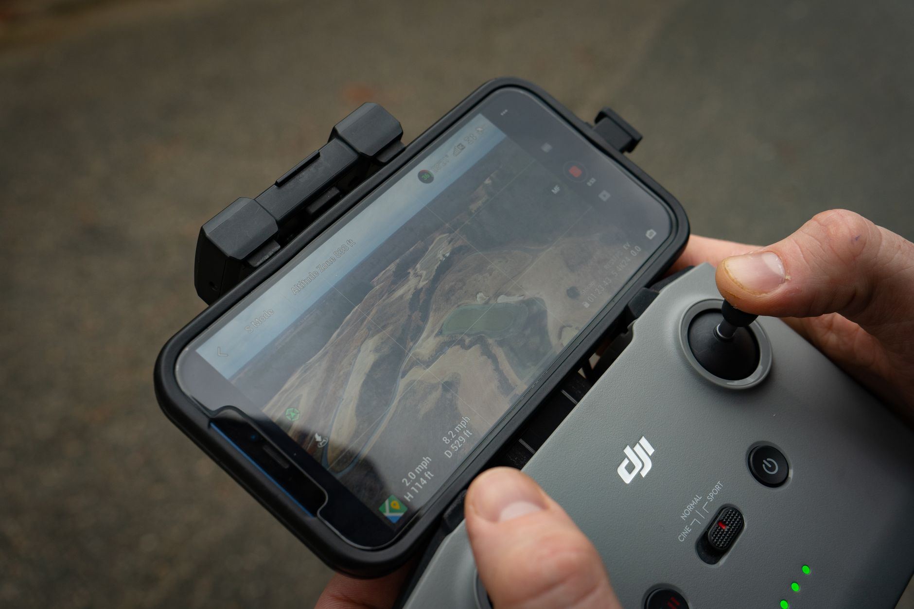
DroneDeploy set the template for browser based drone mapping. Fly the mission in the DroneDeploy flight app or DJI Pilot 2, upload the photos, and a stitched orthomosaic appears in your dashboard. A 40 acre site at 400 feet with 75 percent overlap usually finishes processing inside an hour. Automatic flight planning with terrain follow is still the friendliest in this group for pilots who do not want to calculate overlap percentages by hand. The platform accepts imagery from DJI, Autel, Parrot, SenseFly and any JPG set with clean EXIF data, so you are rarely tied to one aircraft maker.
Hardware changes the result more than the software does. The DJI Mavic 3 Enterprise weighs 920 grams, flies for up to 45 minutes and carries a 4/3 CMOS sensor behind a mechanical shutter. That shutter is the difference between clean survey frames and smeared ones on a gusty afternoon, and the O3 Enterprise link holds a 15 km control range in open terrain. Add the RTK module and most sites land within a few centimeters of absolute accuracy with no ground control points. Fly the same site without RTK and expect one to three meters of drift, which is fine for a progress photo and useless for a stockpile volume. If you need a different airframe, our guide to the best drones for aerial photography covers the sensors that matter.
Two things annoy pilots. Subscriptions bill per user per year, and the tiers that include the analytics commercial clients ask for sit well above what a solo operator wants to pay. There is no offline mode, so a 500 image job on rural Wi-Fi costs you an afternoon. Check the DJI Mavic 3 Enterprise on Amazon if you want the aircraft most DroneDeploy users fly.
Key strengths:
- ✅ Easiest onboarding in the category, with a usable orthomosaic from a first flight
- ✅ Accepts DJI, Autel, Parrot and generic EXIF-tagged photo sets
- ✅ Terrain follow and automatic flight planning cut operator error
- ✅ Progress comparison tools built for construction, roofing and solar
- ✅ Free tier is enough to test accuracy on a real 40 acre site
- ❌ Per user subscriptions add up fast for small teams
- ❌ No offline processing, so poor connectivity kills a field day
- ❌ Advanced exports and analytics sit behind the expensive tiers
Who it’s for: Commercial pilots and construction teams who want a finished map in the browser without babysitting a desktop workstation.
2. Pix4D , Best for photogrammetry accuracy and control
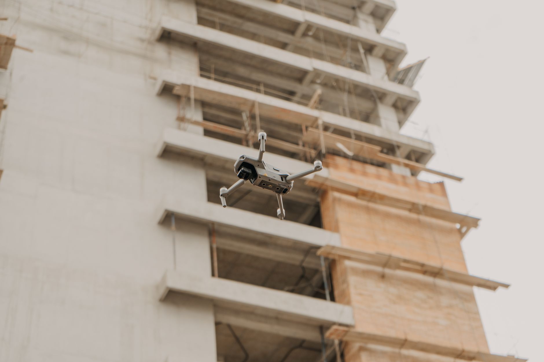
Pix4Dmapper remains the reference desktop photogrammetry package. You control keypoint density, camera calibration, ground control point weighting and the reconstruction pipeline, which is why survey firms have trusted it for a decade. Pix4Dcloud handles the browser side for teams that do not want to babysit a workstation, and Pix4Dmatic pushes large corridor projects through faster than the older engine.
Accuracy is the selling point. With five or more ground control points and a decent camera, Pix4D typically lands within a few centimeters of your control points, and the software prints an accuracy report you can hand to a client. Thermal and multispectral pipelines run in the same project, which matters for solar inspection and crop work. A common pairing is the Autel EVO II Pro V3 with its 1 inch CMOS sensor and roughly 40 minutes of flight time per battery. If you fly commercially north of the border, read the Transport Canada drone safety rules and our drone laws in Canada guide before you quote a job.
The downsides are real. The learning curve is steep enough that new users lose a week on their first project, and desktop licenses cost more than a cloud subscription for anyone flying a few times a month. The interface looks a decade old. It also wants a serious GPU and 32 GB of RAM for large datasets. Check the Autel EVO II Pro V3 on Amazon if you want a camera that pairs well with it.
Key strengths:
- ✅ Deepest manual control over calibration and point cloud generation
- ✅ Thermal, multispectral and RGB pipelines live in the same project
- ✅ Desktop processing runs with no internet connection at all
- ✅ Accuracy reporting that survey clients accept without argument
- ✅ Accepts almost any camera with a known focal length
- ❌ Steep learning curve that punishes casual users
- ❌ Desktop licenses cost more than cloud plans for a solo pilot
- ❌ Interface feels dated next to browser first rivals
Who it’s for: Surveyors and mapping professionals who need to defend their accuracy numbers in a written report.
3. DJI Terra , Best for DJI RTK pilots working offline
DJI Terra is the software DJI builds for its own aircraft, and that focus shows. It supports the Mavic 3 Enterprise and 3 Thermal, the Matrice 30, 300 and 350 RTK, and the older Phantom 4 RTK. Reconstruction runs locally on a Windows machine with no upload and no per map fee beyond the license. For the Matrice 30, 300 and 350, Terra also does live mapping, streaming an orthomosaic while the aircraft is still in the air.
The hardware pairing is the reason to choose it. A Matrice 350 RTK flies for up to 55 minutes on a pair of batteries and carries swappable payloads, so one flight covers a corridor that takes three flights on a smaller drone. The Mavic 3 Enterprise brings the same 4/3 CMOS sensor in a 920 gram airframe for far less money. DJI publishes full specs at dji.com if you want to compare payload weights. For property work, our roundup of the best drones for real estate covers the aircraft most often flown with Terra on listing shoots.
Terra is not a collaboration tool. The license ties to a machine, projects live in local folders, and there is no browser dashboard for a client to click through. It is Windows only, which rules out Mac based teams. Export formats cover the basics for CAD and GIS work. Check the DJI Matrice 350 RTK on Amazon if you are building a Terra based workflow.
Key strengths:
- ✅ Runs entirely offline on a local Windows machine
- ✅ Live in-flight mapping on Matrice 30, 300 and 350 RTK
- ✅ No per map fees once the license is purchased
- ✅ Tight integration with DJI RTK aircraft and payloads
- ✅ Handles corridor and multi-battery datasets without cloud limits
- ❌ Windows only, so Mac teams are locked out
- ❌ No browser workspace for client sharing
- ❌ Useful mainly if you already fly DJI hardware
Who it’s for: Pilots who already own DJI RTK aircraft and want processing that never touches the internet.
4. Propeller Aero , Best for earthworks and cut fill volumetrics
Propeller Aero does one thing well. It takes drone imagery from a construction or mining site and turns it into cut and fill numbers a foreman can act on the same day. The company sells AeroPoints, solar powered ground control targets that record their own position, so a pilot drops them, flies, and picks them up without a separate survey crew. Results sync to a browser workspace built around surfaces, volumes and design comparisons.
The workflow is built for people who measure dirt for a living. You can compare last week’s surface to this week’s, overlay a design file, and send a machine control file to a dozer. Propeller integrates with Trimble, Topcon and Sitech systems, which is why it shows up on large earthworks jobs. Typical processing finishes within a few hours for a standard site flight. Accuracy tracks the ground control you feed it, and the AeroPoints take most of the guesswork out of that step.
None of this is cheap or flexible. There is no free tier, pricing is quoted per site, and the platform offers very little for roof inspectors or agriculture pilots. You also get the best results using Propeller’s own ground control hardware, which ties you deeper into their system.
Key strengths:
- ✅ Volumetrics and cut fill tools designed around machine control
- ✅ AeroPoints remove the need for a separate survey crew
- ✅ Integrates with Trimble, Topcon and Sitech workflows
- ✅ Fast turnaround for weekly site progress reporting
- ✅ Support team that understands construction schedules
- ❌ No free tier and no self serve pricing
- ❌ Best accuracy depends on buying Propeller’s ground control hardware
- ❌ Limited value for roofing, inspection or agriculture work
Who it’s for: Earthworks, mining and civil contractors who need weekly volume numbers rather than pretty maps.
5. Agisoft Metashape , Best one time license for budget photogrammetry
Metashape is the budget option professionals keep coming back to. You buy a license once instead of renting software forever. The Standard edition covers most drone mapping, and the Professional edition adds georeferencing, tiled models, laser scanning support and a Python API. It runs on Windows, Mac and Linux, which almost nothing else in this list does.
Processing speed is its reputation. Dense cloud generation uses the GPU, and a 300 photo project on a modern graphics card finishes in an evening. It handles the DJI Air 3S without complaint, a 724 gram drone with a 1 inch CMOS sensor and up to 45 minutes of flight time per battery. Outputs include orthomosaics, DEMs, textured meshes and point clouds in formats that GIS and CAD tools accept. Once the model is exported, our guide to how to edit drone photos covers the color work that makes a deliverable look professional.
The trade offs are clear. There is no cloud workspace, so collaboration means shared drives and strict file naming. You mark ground control points by hand. Flight planning is not included, so you pair it with a separate app. The interface assumes you already understand photogrammetry before you open it.
Key strengths:
- ✅ One time license beats subscriptions over a few years
- ✅ Runs on Windows, Mac and Linux
- ✅ GPU accelerated dense cloud generation on modest hardware
- ✅ Python API for automating repeatable processing jobs
- ✅ Handles multispectral and thermal camera sets
- ❌ No cloud workspace or client sharing tools
- ❌ Ground control points must be marked manually
- ❌ Interface assumes prior photogrammetry knowledge
Who it’s for: Independent pilots and small firms who want survey grade output without a monthly bill.
6. Maps Made Easy , Best pay per map option for occasional jobs
Maps Made Easy charges per map rather than per month, which suits pilots who fly a handful of jobs a year. You buy credits, upload photos through the browser or the Map Pilot Pro app, and the service returns an orthomosaic, a DSM and a 3D model. No subscription, no minimum term, no sales call. Map Pilot Pro handles flight planning for DJI aircraft and is one of the few free apps that lets you set precise overlap and altitude for a grid mission.
The service works with almost any camera. A DJI Mini 4 Pro at 249 grams is a common pairing for small property jobs, and it shoots 4K at 60fps with up to 34 minutes of flight time in still air. Weight matters for more than portability in the United States. The FAA requires registration for any drone over 250 grams flown recreationally, and every Part 107 flight needs a registered aircraft no matter how light it is.
What you give up is depth. Analytics are thin, there is no progress comparison tool, and large jobs can sit in a queue during busy weeks. Teams that map every week will outgrow it within a season. Everyone else saves money and skips the contract.
Key strengths:
- ✅ Pay per map billing with no monthly commitment
- ✅ Map Pilot Pro flight planning app included at no cost
- ✅ Accepts imagery from almost any camera with EXIF data
- ✅ Simple enough to learn in an afternoon
- ✅ Good fit for property, roof and small site jobs
- ❌ Thin analytics compared with DroneDeploy or Propeller
- ❌ Large jobs can queue during peak periods
- ❌ No progress comparison or team collaboration tools
Who it’s for: Solo pilots who map a few sites a year and refuse to pay a subscription for the privilege.
Frequently Asked Questions
Does DroneDeploy work with any drone?
It accepts images from DJI, Autel, Parrot, SenseFly and most cameras that write clean EXIF data, so almost any modern drone can feed it. The automatic flight app only supports a set list of aircraft, and you get better accuracy with an RTK capable drone.
Is DroneDeploy free?
There is a free tier with limited processing and storage, plus a trial period for paid features. Commercial work usually pushes you onto a paid plan because the free tier caps map count and removes the analytics that clients ask for.
How accurate are drone maps without ground control points?
Without RTK or ground control, expect horizontal error of one to three meters. Adding RTK on the aircraft, or five or more ground control points, usually brings that down to a few centimeters.
Do I need a license to fly a drone for mapping clients?
In the United States, yes. Any flight that supports a business needs a Part 107 remote pilot certificate and a registered aircraft. Canada requires a basic or advanced operations certificate depending on where and how you fly.
Which is better, DroneDeploy or Pix4D?
DroneDeploy is faster to learn and better for sharing results with a construction team. Pix4D gives you more control over calibration and accuracy reporting, which surveyors usually need.
Can I process drone maps without an internet connection?
Yes, with DJI Terra or Agisoft Metashape, since both run entirely on your own machine. DroneDeploy, Pix4Dcloud, Propeller Aero and Maps Made Easy all depend on cloud processing for core features.
What Should You Remember?
- DroneDeploy wins on speed and ease, not on price. Most commercial teams produce a client ready map on day one.
- Pix4D is the accuracy benchmark for survey work, but budget a week of learning before your first paid project.
- DJI Terra is the only pick here that pairs live in-flight mapping with fully offline processing on Windows.
- Propeller Aero is built for dirt, so earthworks crews get cut and fill numbers while roofers get very little.
- Agisoft Metashape costs less over three years than any subscription here and runs on Windows, Mac and Linux.
- Maps Made Easy suits a few flights a year because you pay per map instead of per month.
- Settle your legal footing first. A Part 107 certificate or a Canadian advanced certificate matters more than which software you buy.
This article is for general information only. Drone regulations vary by region and change frequently , always verify current local laws and airspace rules before flying.